RubikonKid
Rock Stacker
Added 7 more spots to the map. I'll do some more digging around tomorrow and find more locations
Sweet mods made it a stickie!
How do you make these maps?
Regarding Haw River: the west bank on Hwy 64 has a trail that can be very difficult in spots, and access to the huge river rocks and islands.
Umstead State Park, Harrison Ave entrance off I-40: Company Mill Trail starts as an easy trail with optional obstacles, a creek to play in. After crossing the creek you get into more challenging terrain.
Bond Lake Park, Cary: Start from boathouse parking lot. Dirt trail around the lake is an easy trail ride, some roots and optional obstacles, and a rocky creek to play in about halfway through.
Thanks for making the map, it's a great resource!
Thanks for the info. Is the spot marked on the map correct for the Haw river?
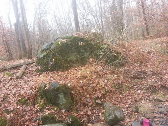
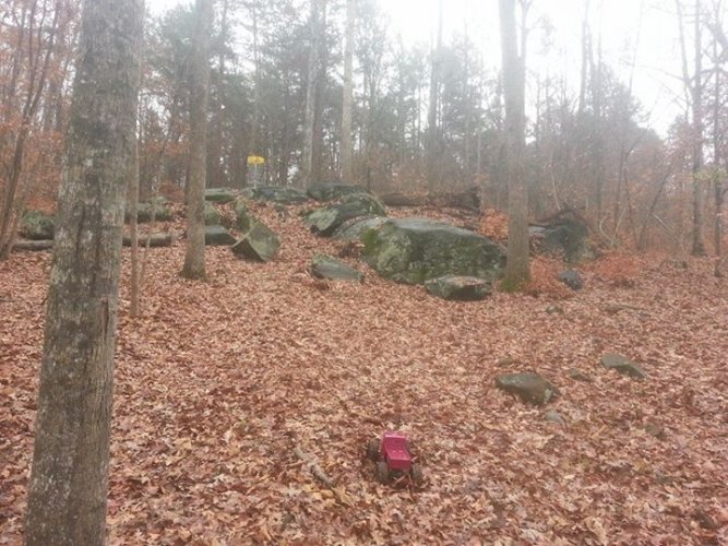
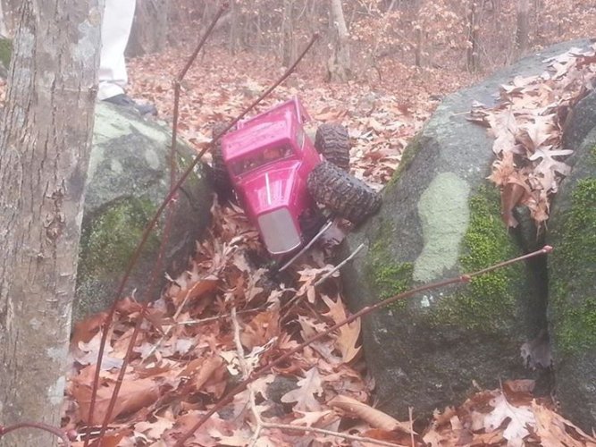
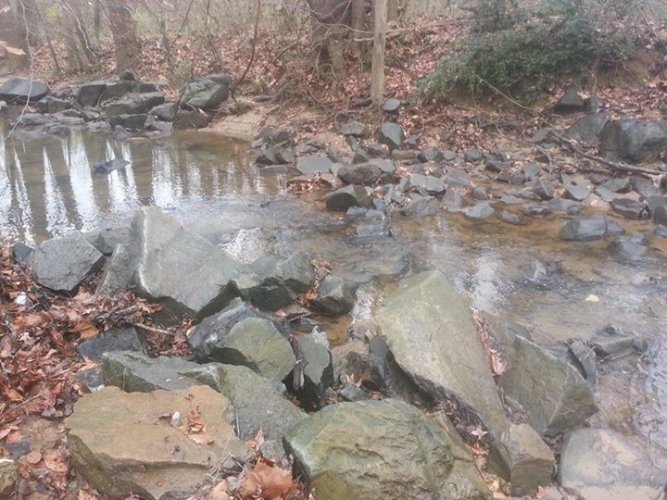
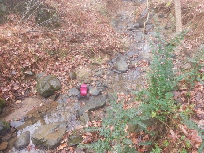
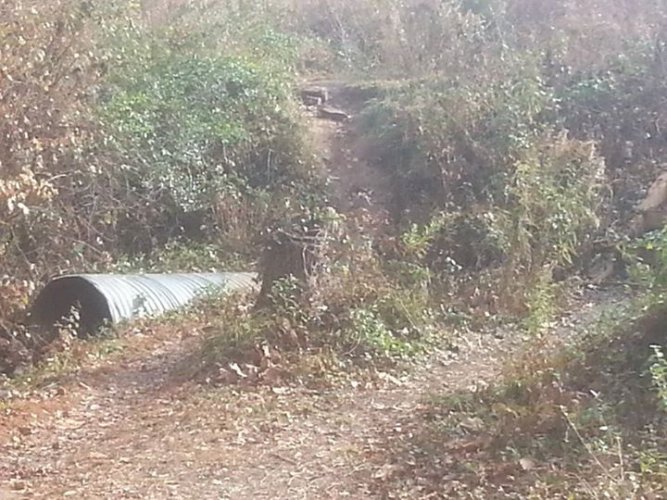
Crawled at Robert L. Smith park today. It was fun with some good terrain.https://maps.google.com/maps?client...IelgrAN&ved=0CCsQ_BI&rlz=1Y1YYEK_enUS532US532 see pics
Crawled at Robert L. Smith park today. It was fun with some good terrain.https://maps.google.com/maps?client...IelgrAN&ved=0CCsQ_BI&rlz=1Y1YYEK_enUS532US532 see pics


Wow! That looks awesome.
